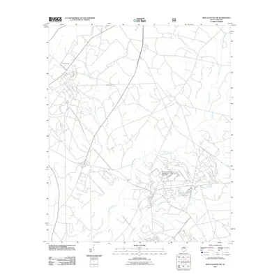
2011 Map of New Ellenton SW
USGS Topo · Published 2011About this map
Upper Three Runs and its associated tributaries carve through this section of Aiken County, defining a landscape dominated by managed waterways and industrial infrastructure. The presence of the Savannah River Plant Pond Number 25-288 F D-3156 Dam highlights the complex land use and environmental engineering associated with the regional nuclear facility's operations. This 2011 survey reveals a quiet but strictly organized geography where smaller streams like Tims Branch and Turner Branch flow toward larger catchments. Local history and family ties are anchored at the Ford Cemetery, located in the northwest near Doe Ct. The network of roads, including Gateway Dr, provides access to these secure and industrial areas, while the southern reaches are marked by the winding course of Fourmile Branch.
Find a feature on this map
9 named features on this map. Tap any name to fly to it.
Don’t see what you’re looking for? This feature index may not catch every label — zoom into the map to look around manually.
Map Details
Editions of this 2011 New Ellenton SW Map
This is the sole edition of this map. No revisions or reprints were ever made.
Other maps of this area

1920 · Ellenton
USGS Topo · 1:48,000

1920 · Greens Cut
USGS Topo · 1:62,500

1920 · Talatha
USGS Topo · 1:48,000

1921 · Augusta
USGS Topo · 1:62,500

1921 · Talatha
USGS Topo · 1:62,500

1921 · Ellenton
USGS Topo · 1:62,500

1943 · Greens Cut
USGS Topo · 1:62,500

1943 · Augusta East
USGS Topo · 1:125,000

1943 · Talatha
USGS Topo · 1:62,500

1943 · Augusta
USGS Topo · 1:62,500