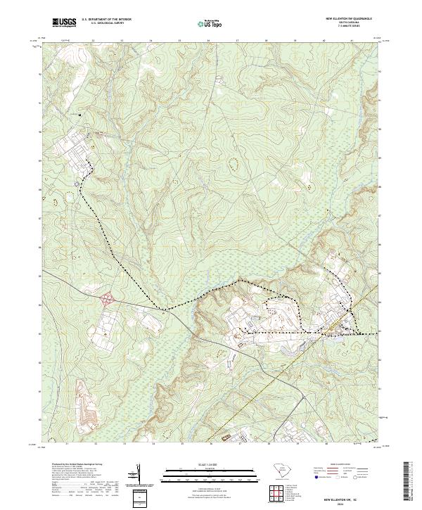
2024 Map of New Ellenton SW
USGS Topo · Published 2024About this map
Upper Three Runs and Tinker Creek converge in this corner of the South Carolina sandhills, where the landscape is defined by the intersection of riparian wetlands and restricted industrial zones. The drainage patterns of Fourmile Branch and Tims Branch illustrate the local topography as it slopes toward the Savannah River basin. Human presence is concentrated along corridors like State Hwy 1 and Whiskey Rd, while the secluded Ford Cem near Green Pond Rd provides a specific point of interest for genealogical research. The boundary between Aiken Co and Barnwell Co cuts through the southeastern portion of the map, marking a transition into more heavily managed territory. Significant infrastructure, including the aptly named Atomic Rd, underscores the unique industrial and governmental history of this region during the twenty-first century.
Find a feature on this map
14 named features on this map. Tap any name to fly to it.
Don’t see what you’re looking for? This feature index may not catch every label — zoom into the map to look around manually.
Map Details
Editions of this 2024 New Ellenton SW Map
This is the sole edition of this map. No revisions or reprints were ever made.
Other maps of this area

1920 · Ellenton
USGS Topo · 1:48,000

1920 · Greens Cut
USGS Topo · 1:62,500

1920 · Talatha
USGS Topo · 1:48,000

1921 · Augusta
USGS Topo · 1:62,500

1921 · Talatha
USGS Topo · 1:62,500

1921 · Ellenton
USGS Topo · 1:62,500

1943 · Greens Cut
USGS Topo · 1:62,500

1943 · Augusta East
USGS Topo · 1:125,000

1943 · Talatha
USGS Topo · 1:62,500

1943 · Augusta
USGS Topo · 1:62,500