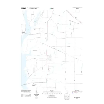
2013 Map of New Fairfield
USGS Topo · Published 2013About this map
Brookville Lake and Whitewater Lake dominate the western landscape of this eastern Indiana corridor, where the East Fork Whitewater River valley was reshaped by mid-century reservoir projects. The small settlement of Dunlapsville sits along the western shore, connected to the interior by the Dunlapsville Causeway. Further south, the community of New Fairfield serves as a reminder of the original townsite displaced by the rising waters.
Find a feature on this map
89 named features on this map. Tap any name to fly to it.
Don’t see what you’re looking for? This feature index may not catch every label — zoom into the map to look around manually.
Map Details
Editions of this 2013 New Fairfield Map
This is the sole edition of this map. No revisions or reprints were ever made.
Other maps of this area

1915 · College Corner
USGS Topo · 1:48,000

1915 · Harrison
USGS Topo · 1:48,000

1918 · College Corner
USGS Topo · 1:62,500

1948 · Fairfield
USGS Topo · 1:24,000

1953 · Cincinnati
USGS Topo · 1:250,000

1955 · Reily
USGS Topo · 1:24,000

1955 · Mount Carmel
USGS Topo · 1:24,000

1956 · Everton
USGS Topo · 1:24,000

1956 · Brownsville
USGS Topo · 1:24,000

1956 · Brookville
USGS Topo · 1:24,000