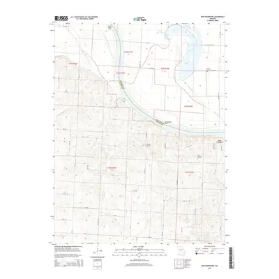
2015 Map of New Frankfort
USGS Topo · Published 2015About this map
The Missouri River carves a sweeping path through this portion of Missouri, marking the boundary between Chariton and Saline Counties. This landscape is defined by the hydrologic history of the river, evident in prominent features like Grand River Bend and the aptly named Bushwhacker Bend. To the north, Cut-Off Lake and the meandering Palmer Cr signify old river channels that have shifted over time, creating a rich bottomland environment and distinct drainage patterns for smaller tributaries such as Graves Cr and Edmondson Cr.
Find a feature on this map
48 named features on this map. Tap any name to fly to it.
Don’t see what you’re looking for? This feature index may not catch every label — zoom into the map to look around manually.
Map Details
Editions of this 2015 New Frankfort Map
This is the sole edition of this map. No revisions or reprints were ever made.
Other maps of this area

1890 · Glasgow
USGS Topo · 1:125,000

1890 · Marshall
USGS Topo · 1:125,000

1892 · Marshall
USGS Topo · 1:125,000

1901 · Marshall
USGS Topo · 1:125,000

1940 · Marshall
USGS Topo · 1:62,500

1944 · Marshall
USGS Topo · 1:62,500

1947 · Glasgow
USGS Topo · 1:62,500

1951 · Miami
USGS Topo · 1:24,000

1951 · Brunswick West
USGS Topo · 1:24,000

1951 · Brunswick East
USGS Topo · 1:24,000