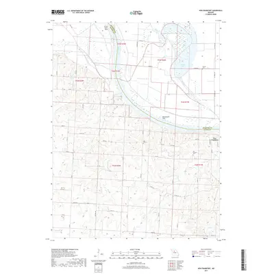
2017 Map of New Frankfort
USGS Topo · Published 2017About this map
The Missouri River carves a sweeping path through this territory on the border of Chariton and Saline counties, defining a landscape of low-lying bends and complex river hydrology. Significant water features like Bushwhacker Bend, Grand River-Bend, and the isolated Cut-Off Lake illustrate the river's historical shifting course. On the bluffs above the floodplain, the small community of New Frankfort serves as a local anchor, surrounded by smaller drainages including Buck Cr, Palmer Cr, and Edmondson Cr. Genealogists and local historians will find several well-placed burial sites across the township, such as New Frankfort Cem, High Hill Cem, and Sleyster Cem. The terrain south of the river is characterized by a dense network of country roads, such as Co Rd M and Co Rd F, which provide access to the dissected uplands and agricultural fields that have long defined this Missouri riverfront region.
Find a feature on this map
56 named features on this map. Tap any name to fly to it.
Don’t see what you’re looking for? This feature index may not catch every label — zoom into the map to look around manually.
Map Details
Editions of this 2017 New Frankfort Map
This is the sole edition of this map. No revisions or reprints were ever made.
Other maps of this area

1890 · Glasgow
USGS Topo · 1:125,000

1890 · Marshall
USGS Topo · 1:125,000

1892 · Marshall
USGS Topo · 1:125,000

1901 · Marshall
USGS Topo · 1:125,000

1940 · Marshall
USGS Topo · 1:62,500

1944 · Marshall
USGS Topo · 1:62,500

1947 · Glasgow
USGS Topo · 1:62,500

1951 · Miami
USGS Topo · 1:24,000

1951 · Brunswick West
USGS Topo · 1:24,000

1951 · Brunswick East
USGS Topo · 1:24,000