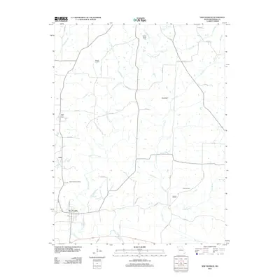
2012 Map of New Franklin
USGS Topo · Published 2012About this map
New Franklin anchors the southern portion of this landscape, situated just north of the meandering Sulphur Creek in the Missouri River valley. The terrain is defined by a dense network of drainage systems, most notably Bonne Femme Creek and Salt Creek, which carve through the countryside toward the south. Small rural communities like Boonslick and Estill serve as focal points for the surrounding agricultural lands, connected by a web of county roads.
Find a feature on this map
47 named features on this map. Tap any name to fly to it.
Don’t see what you’re looking for? This feature index may not catch every label — zoom into the map to look around manually.
Map Details
Editions of this 2012 New Franklin Map
This is the sole edition of this map. No revisions or reprints were ever made.
Other maps of this area

1888 · Boonville
USGS Topo · 1:125,000

1890 · Glasgow
USGS Topo · 1:125,000

1947 · Glasgow
USGS Topo · 1:62,500

1947 · Jefferson City
USGS Topo · 1:250,000

1952 · Rocheport
USGS Topo · 1:24,000

1952 · Boonville
USGS Topo · 1:24,000

1952 · New Franklin
USGS Topo · 1:24,000

1952 · Hilldale
USGS Topo · 1:24,000

1953 · Moberly
USGS Topo · 1:250,000

1953 · Fayette
USGS Topo · 1:24,000