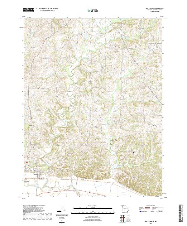
2021 Map of New Franklin
USGS Topo · Published 2021About this map
New Franklin and the southern Missouri landscape of Howard County are defined by a complex network of waterways feeding toward the Missouri River valley. The terrain is deeply incised by Bonne Femme Cr, with various tributaries like Adams Fork and Robb Br carving through the rural uplands. This modern survey illustrates the current state of a region with deep agricultural and transit roots, where the historic rail corridor has been repurposed into the Katy Trl, which skirts the southern edge of town near Franklin.
Find a feature on this map
49 named features on this map. Tap any name to fly to it.
Don’t see what you’re looking for? This feature index may not catch every label — zoom into the map to look around manually.
Map Details
Editions of this 2021 New Franklin Map
This is the sole edition of this map. No revisions or reprints were ever made.
Other maps of this area

1888 · Boonville
USGS Topo · 1:125,000

1890 · Glasgow
USGS Topo · 1:125,000

1947 · Glasgow
USGS Topo · 1:62,500

1947 · Jefferson City
USGS Topo · 1:250,000

1952 · Rocheport
USGS Topo · 1:24,000

1952 · Boonville
USGS Topo · 1:24,000

1952 · New Franklin
USGS Topo · 1:24,000

1952 · Hilldale
USGS Topo · 1:24,000

1953 · Moberly
USGS Topo · 1:250,000

1953 · Fayette
USGS Topo · 1:24,000