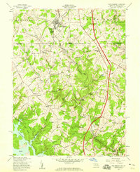
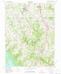
1958 Map of New Freedom
USGS Topo · Published 1959About this map
The Pennsylvania Railroad corridor anchors this mid-century survey of the rural borderlands between York County, Pennsylvania, and Baltimore County, Maryland. At the heart of the region sits the borough of New Freedom, where the rail line passes through a landscape dotted with long-established institutions like the Summit Grove Camp. The map captures a transition point in local geography, where the northern reaches of the Prettyboy Reservoir begin to take shape at Frog Hollow Cove, contrasting with the traditional agrarian economy represented by Gores Mill and Valley Mill. Small hamlets such as Bentley Springs, Maryland Line, and Grimesville are linked by a network of named country roads, while local education and faith are centered at landmarks like Seventh District Sch and Pine Grove Ch. This documentation provides a clear view of the rural infrastructure and property distribution just as suburban growth began to reach the Mason-Dixon line.
Find a feature on this map
59 named features on this map. Tap any name to fly to it.
Don’t see what you’re looking for? This feature index may not catch every label — zoom into the map to look around manually.
Map Details
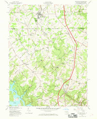
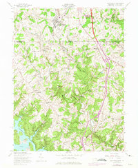
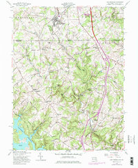
Editions of this 1958 New Freedom Map
5 editions found
Other maps of this area

1900 · Parkton
USGS Topo · 1:62,500

1902 · Parkton
USGS Topo · 1:62,500

1905 · Westminster
USGS Topo · 1:62,500

1908 · York
USGS Topo · 1:62,500

1910 · York
USGS Topo · 1:62,500

1920 · Hanover
USGS Topo · 1:62,500

1922 · Hanover
USGS Topo · 1:62,500

1944 · New Freedom
USGS Topo · 1:31,680

1944 · Hampstead
USGS Topo · 1:31,680
1944 · Hereford
USGS Topo · 1:31,680