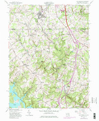
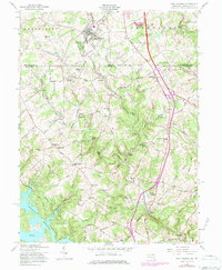
1958 Map of New Freedom
USGS Topo · Published 1984About this map
The Mason and Dixon Line bisects this landscape, marking the historic boundary between Shrewsbury, Pennsylvania, and Baltimore County, Maryland. The Penn Central railroad corridor serves as the primary spine of development, linking the northern borough of New Freedom with the southern hamlets of Bentley Springs and Parkton. This survey captures the region as its rural agricultural character began to interface with mid-century infrastructure, particularly evident in the winding waters of the Prettyboy Reservoir and its prominent Frog Hollow Cove. Genealogists will find significant value in the distribution of community landmarks, from the Bowser Cem and Rock Chapel Cem to the rural Sixth District Sch and Seventh District Sch. The terrain is defined by the drainage of Gunpowder Falls and Beetree Run, where historic industry like Gores Mill and Valley Mill once utilized the local waterways.
Find a feature on this map
76 named features on this map. Tap any name to fly to it.
Don’t see what you’re looking for? This feature index may not catch every label — zoom into the map to look around manually.
Map Details
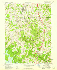
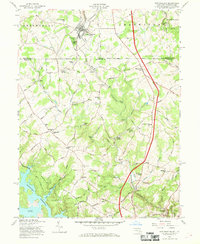
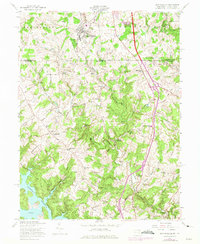
Editions of this 1958 New Freedom Map
5 editions found
Other maps of this area

1900 · Parkton
USGS Topo · 1:62,500

1902 · Parkton
USGS Topo · 1:62,500

1905 · Westminster
USGS Topo · 1:62,500

1908 · York
USGS Topo · 1:62,500

1910 · York
USGS Topo · 1:62,500

1920 · Hanover
USGS Topo · 1:62,500

1922 · Hanover
USGS Topo · 1:62,500

1944 · New Freedom
USGS Topo · 1:31,680

1944 · Hampstead
USGS Topo · 1:31,680
1944 · Hereford
USGS Topo · 1:31,680