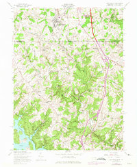
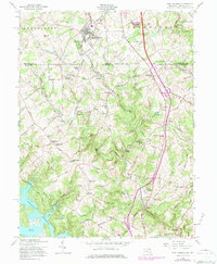
1958 Map of New Freedom
USGS Topo · Published 1975About this map
The Mason and Dixon Line defines the core of this landscape, separating the townships of Shrewsbury and Hopewell in Pennsylvania from Baltimore County, Maryland. At the northern edge, New Freedom serves as a primary hub, while the Penn Central rail corridor threads southward through the valley of Beetree Run and Little Falls, passing the rural community of Bentley Springs. The southern portion is dominated by the sprawling fingers of the Prettyboy Reservoir, specifically Frog Hollow Cove, which dramatically altered the local topography and drainage patterns of the Gunpowder Falls river system.
Find a feature on this map
85 named features on this map. Tap any name to fly to it.
Don’t see what you’re looking for? This feature index may not catch every label — zoom into the map to look around manually.
Map Details
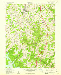
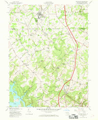
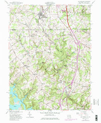
Editions of this 1958 New Freedom Map
5 editions found
Other maps of this area

1900 · Parkton
USGS Topo · 1:62,500

1902 · Parkton
USGS Topo · 1:62,500

1905 · Westminster
USGS Topo · 1:62,500

1908 · York
USGS Topo · 1:62,500

1910 · York
USGS Topo · 1:62,500

1920 · Hanover
USGS Topo · 1:62,500

1922 · Hanover
USGS Topo · 1:62,500

1944 · New Freedom
USGS Topo · 1:31,680

1944 · Hampstead
USGS Topo · 1:31,680
1944 · Hereford
USGS Topo · 1:31,680