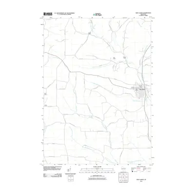
2010 Map of New Glarus
USGS Topo · Published 2010About this map
New Glarus anchors the eastern edge of this Green County landscape, where the Little Sugar River and its numerous tributaries have carved a series of distinct valleys through the terrain. The village is well-defined by its grid, featuring the New Glarus Post Office and two nearby burial grounds, the Swiss Cemetery and Evangelical Cemetery. Outside the village center, the rural character is defined by a network of drainage systems like Hefty Creek and Sawmill Creek, and named topographical features such as Hustad Valley, Krieg Valley, and Pioneer Valley. Genealogists will find significant value in the distribution of rural cemeteries, including the Greens Prairie Cemetery and Postville Cemetery on the western half of the sheet. The naming conventions of the waterways, such as the Legler School Branch and Center Branch Hefty Creek, reflect the agricultural organization and school districts that shaped this area of Wisconsin.
Find a feature on this map
56 named features on this map. Tap any name to fly to it.
Don’t see what you’re looking for? This feature index may not catch every label — zoom into the map to look around manually.
Map Details
Editions of this 2010 New Glarus Map
This is the sole edition of this map. No revisions or reprints were ever made.
Other maps of this area

1920 · Monroe
USGS Topo · 1:62,500

1922 · Monroe
USGS Topo · 1:62,500

1923 · Blanchardville
USGS Topo · 1:62,500

1923 · New Glarus
USGS Topo · 1:62,500

1923 · South Wayne
USGS Topo · 1:62,500

1954 · Rockford
USGS Topo · 1:250,000

1955 · Rockford
USGS Topo · 1:250,000

1958 · Rockford
USGS Topo · 1:250,000
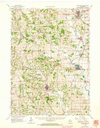
1962 · New Glarus
USGS Topo · 1:62,500
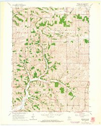
1962 · Monroe NW
USGS Topo · 1:24,000