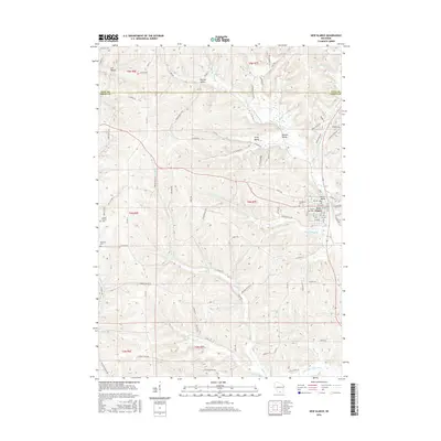
2016 Map of New Glarus
USGS Topo · Published 2016About this map
New Glarus sits as the central hub of this Green County landscape, where the town's distinct grid and namesake valleys define the local geography. The area's heritage is visible through several burial grounds, including the Swiss Cem and Evangelical Cem, which serve as quiet markers of the community's early settlers. The terrain is deeply articulated by numerous watercourses such as the Little Sugar River, Hefty Cr, and Spring Valley Cr, creating a network of ridges and drainage basins that dictated the path of historical roads like Old Madison Rd and Lee Valley Rd.
Find a feature on this map
91 named features on this map. Tap any name to fly to it.
Don’t see what you’re looking for? This feature index may not catch every label — zoom into the map to look around manually.
Map Details
Editions of this 2016 New Glarus Map
This is the sole edition of this map. No revisions or reprints were ever made.
Other maps of this area

1920 · Monroe
USGS Topo · 1:62,500

1922 · Monroe
USGS Topo · 1:62,500

1923 · Blanchardville
USGS Topo · 1:62,500

1923 · New Glarus
USGS Topo · 1:62,500

1923 · South Wayne
USGS Topo · 1:62,500

1954 · Rockford
USGS Topo · 1:250,000

1955 · Rockford
USGS Topo · 1:250,000

1958 · Rockford
USGS Topo · 1:250,000
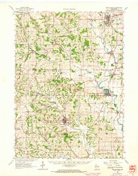
1962 · New Glarus
USGS Topo · 1:62,500
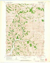
1962 · Monroe NW
USGS Topo · 1:24,000