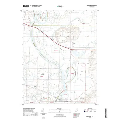
2019 Map of New Harmony
USGS Topo · Published 2019About this map
The Wabash River meanders across the landscape, defining the state boundary between Illinois and Indiana. In this 2019 survey, the complex riverine environment is marked by numerous islands and remnant waterways, including Kingdom Island, Little Fox Island, and the prominent Ribeyre Island. The historic New Harmony Bridge provides a vital link near the settlement of New Harmony, where the town grid is clearly delineated. To the north, the terrain rises into the Mumford Hills near Griffin, providing a contrast to the low-lying wetlands of Goose Pond and Rattling Slough. Genealogists will find several family and community burial sites such as Mount Pleasant Cem, Stillwell Cem, and Allen Cem, which remain as markers of the area's rural heritage.
Find a feature on this map
100 named features on this map. Tap any name to fly to it.
Don’t see what you’re looking for? This feature index may not catch every label — zoom into the map to look around manually.
Map Details
Editions of this 2019 New Harmony Map
This is the sole edition of this map. No revisions or reprints were ever made.
Other maps of this area

1903 · New Harmony
USGS Topo · 1:62,500

1903 · Patoka
USGS Topo · 1:125,000

1904 · Mount Carmel
USGS Topo · 1:62,500

1938 · New Harmony
USGS Topo · 1:62,500

1940 · Carmi
USGS Topo · 1:62,500

1943 · Carmi
USGS Topo · 1:62,500

1943 · Albion
USGS Topo · 1:62,500

1946 · Albion
USGS Topo · 1:62,500

1956 · Vincennes
USGS Topo · 1:250,000

1957 · Vincennes
USGS Topo · 1:250,000