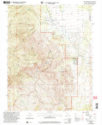
2002 Map of New Harmony
USGS Topo · Published 2005About this map
New Harmony sits at the foot of the eastern escarpment of the Pine Valley Mountains, serving as a gateway to the high-elevation backcountry of the Dixie National Forest. This 2002 revision by the USDA Forest Service emphasizes the transition from the valley floor, where the Cem and local Quarries are located, into the protected Pine Valley Mountain Wilderness. The topography is defined by dramatic drainage systems, including the steep descent from Mount Baldy toward Death Valley and the course of North Ash Creek. Access to the interior is marked by the Valley Trail and Death Valley Road, while numerous water sources like Comanche Spring and Sawyer Spring suggest the importance of seasonal water management in this high-desert environment. The map also delineates the Washington Co and Iron Co boundary, illustrating the regional political geography of southern Utah.
Find a feature on this map
38 named features on this map. Tap any name to fly to it.
Don’t see what you’re looking for? This feature index may not catch every label — zoom into the map to look around manually.
Map Details
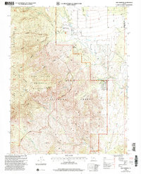
Editions of this 2002 New Harmony Map
2 editions found
Other maps of this area

1885 · St. George
USGS Topo · 1:250,000

1891 · St. George
USGS Topo · 1:250,000

1950 · Kanarraville
USGS Topo · 1:24,000

1950 · Iron Mountain
USGS Topo · 1:62,500

1950 · Cedar City
USGS Topo · 1:62,500

1950 · Stoddard Mtn
USGS Topo · 1:24,000

1950 · Page Ranch
USGS Topo · 1:24,000

1951 · Kanarraville
USGS Topo · 1:24,000

1951 · Stoddard Mtn
USGS Topo · 1:24,000

1951 · Page Ranch
USGS Topo · 1:24,000