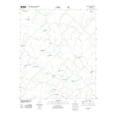
2010 Map of New Harp
USGS Topo · Published 2010About this map
New Harp serves as the central focal point for this rural landscape in north Texas, where the terrain is heavily defined by an extensive network of water management infrastructure. Numerous dams and sediment control structures, such as Soil Conservation Service Site 10a Dam and Soil Conservation Service Sediment Control Structure 16-2, are scattered throughout the watershed of Denton Creek and its many tributaries. This system of reservoirs and ponds, including Rucker Pond, illustrates the region's focus on soil conservation and water retention in the early 21st century.
Find a feature on this map
72 named features on this map. Tap any name to fly to it.
Don’t see what you’re looking for? This feature index may not catch every label — zoom into the map to look around manually.
Map Details
Editions of this 2010 New Harp Map
This is the sole edition of this map. No revisions or reprints were ever made.
Other maps of this area

1902 · Gainesville
USGS Topo · 1:125,000

1905 · Montague
USGS Topo · 1:125,000

1943 · Gainesville
USGS Topo · 1:125,000

1954 · Sherman
USGS Topo · 1:250,000

1958 · Sherman
USGS Topo · 1:250,000

1961 · Pecan Creek
USGS Topo · 1:24,000

1961 · Salona
USGS Topo · 1:24,000

1961 · Alvord
USGS Topo · 1:24,000

1961 · Freemound
USGS Topo · 1:24,000

1961 · New Harp
USGS Topo · 1:24,000