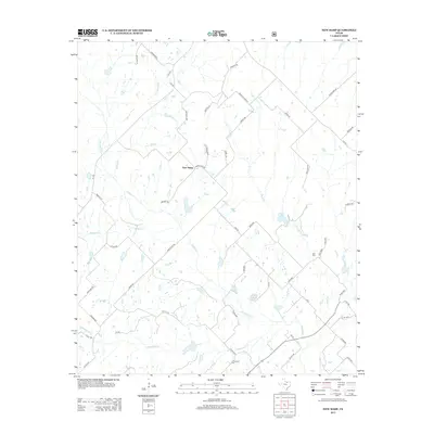
2013 Map of New Harp
USGS Topo · Published 2013About this map
New Harp centers this survey of northern Texas, where the landscape is defined by the headwaters and tributaries of Denton Cr. This rural corridor in Montague County retains a traditional agricultural character, evidenced by a network of farm-to-market roads and family-named routes such as Parker Dairy Rd and Matlock Ln. The mapping detail captures the hydrological complexity of the area, featuring Braden Br, Panther Cr, and Sisal Cr as they weave through the rolling prairie. Local history is anchored by the presence of Rush Cem and Cottonwood Cem, which serve as quiet markers of the community's early settlement. The presence of Rucker Pond and various livestock tanks illustrates the area's ongoing reliance on managed water resources for ranching and farming operations in this part of the state.
Find a feature on this map
52 named features on this map. Tap any name to fly to it.
Don’t see what you’re looking for? This feature index may not catch every label — zoom into the map to look around manually.
Map Details
Editions of this 2013 New Harp Map
This is the sole edition of this map. No revisions or reprints were ever made.
Other maps of this area

1902 · Gainesville
USGS Topo · 1:125,000

1905 · Montague
USGS Topo · 1:125,000

1943 · Gainesville
USGS Topo · 1:125,000

1954 · Sherman
USGS Topo · 1:250,000

1958 · Sherman
USGS Topo · 1:250,000

1961 · Pecan Creek
USGS Topo · 1:24,000

1961 · Salona
USGS Topo · 1:24,000

1961 · Alvord
USGS Topo · 1:24,000

1961 · Freemound
USGS Topo · 1:24,000

1961 · New Harp
USGS Topo · 1:24,000