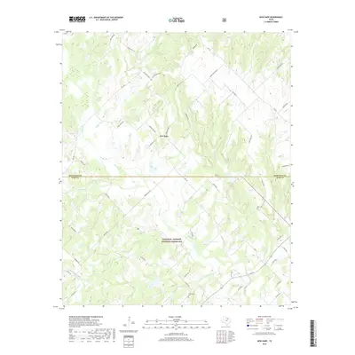
2019 Map of New Harp
USGS Topo · Published 2019About this map
New Harp sits at the northern edge of the Lyndon B. Johnson National Grassland, where the rolling terrain of North Texas straddles the boundary of Montague and Wise counties. The landscape is defined by the headwaters and branches of Denton Cr and Rush Cr, which carve through the countryside alongside notable landmarks such as Rucker Pond. This 2019 survey documents a rural network of county roads and family-named routes, including Valentine Bluff Rd and Seldom Seen Rd, that connect isolated homesteads and ranching properties.
Find a feature on this map
50 named features on this map. Tap any name to fly to it.
Don’t see what you’re looking for? This feature index may not catch every label — zoom into the map to look around manually.
Map Details
Editions of this 2019 New Harp Map
This is the sole edition of this map. No revisions or reprints were ever made.
Other maps of this area

1902 · Gainesville
USGS Topo · 1:125,000

1905 · Montague
USGS Topo · 1:125,000

1943 · Gainesville
USGS Topo · 1:125,000

1954 · Sherman
USGS Topo · 1:250,000

1958 · Sherman
USGS Topo · 1:250,000

1961 · Pecan Creek
USGS Topo · 1:24,000

1961 · Salona
USGS Topo · 1:24,000

1961 · Alvord
USGS Topo · 1:24,000

1961 · Freemound
USGS Topo · 1:24,000

1961 · New Harp
USGS Topo · 1:24,000