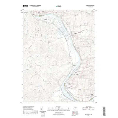
2019 Map of New Haven
USGS Topo · Published 2019About this map
The Ohio River carves a sweeping path between West Virginia and Ohio, anchoring a landscape of tight river bends and productive bottomlands. Along the eastern bank, the river-fronting settlements of New Haven, Antiquity, and Letart follow the narrow alluvial plains, while Letart Bottoms and Weaver Bar indicate the shifting hydrology of this vital waterway. In the interior, the terrain transitions into a dense network of ridges and hollows drained by Broad Run, Robinson Run, and Seaman Run.
Find a feature on this map
123 named features on this map. Tap any name to fly to it.
Don’t see what you’re looking for? This feature index may not catch every label — zoom into the map to look around manually.
Map Details
Editions of this 2019 New Haven Map
This is the sole edition of this map. No revisions or reprints were ever made.
Other maps of this area

1907 · Pomeroy
USGS Topo · 1:62,500

1907 · Keno
USGS Topo · 1:62,500
1908 · Ravenswood
USGS Topo · 1:62,500
1908 · Point Pleasant
USGS Topo · 1:62,500
1926 · Ravenswood
USGS Topo · 1:62,500
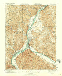
1926 · Point Pleasant
USGS Topo · 1:62,500
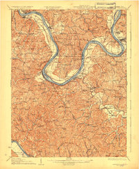
1928 · Ravenswood
USGS Topo · 1:62,500
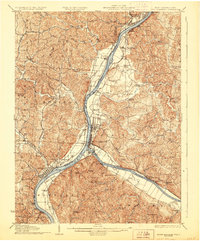
1929 · Point Pleasant
USGS Topo · 1:62,500

1947 · Columbus
USGS Topo · 1:250,000

1949 · Clarksburg
USGS Topo · 1:250,000