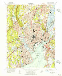
1954 Map of New Haven
USGS Topo · Published 1956About this map
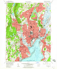
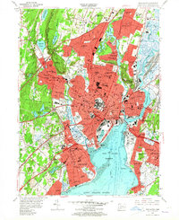
Yale University anchors the center of this mid-century coastal landscape, surrounded by a dense network of urban neighborhoods and historic institutions. The city's geography is defined by the dramatic trap rock rises of West Rock Ridge and East Rock, with the Quinnipiac River and Mill River flowing into the expansive New Haven Harbor. To the west, the Yale Bowl and Westville neighborhood mark the transition toward the suburban heights, while the New York New Haven and Hartford railroad lines cut through the industrial corridors. Along the shoreline, Savin Rock and Sea Bluff front the Long Island Sound, serving as established recreational destinations. The map also captures significant infrastructure such as the Veterans Hospital and the New Haven Municipal Airport, illustrating the post-war growth of this Connecticut hub.
Find a feature on this map
103 named features on this map. Tap any name to fly to it.
Don’t see what you’re looking for? This feature index may not catch every label — zoom into the map to look around manually.
Map Details
Editions of this 1954 New Haven Map
6 editions found
Other maps of this area

1889 · Derby
USGS Topo · 1:62,500

1891 · Bridgeport
USGS Topo · 1:62,500

1891 · Derby
USGS Topo · 1:62,500

1892 · New Haven
USGS Topo · 1:62,500

1893 · Bridgeport
USGS Topo · 1:62,500

1893 · Derby
USGS Topo · 1:62,500

1920 · Bridgeport
USGS Topo · 1:62,500

1921 · New Haven
USGS Topo · 1:62,500

1943 · New Haven
USGS Topo · 1:31,680

1943 · Naugatuck
USGS Topo · 1:31,680