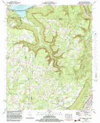
1982 Map of New Home
USGS Topo · Published 1983About this map
Sand Mountain dominates the central landscape of this 1980s survey, marking a complex boundary where Alabama, Georgia, and Tennessee converge. The terrain is defined by deep gulfs and coves, including Nickajack Cove and Cole City Gulf, which slice through the plateau. This era shows a mix of traditional rural settlement and industrial activity, evidenced by the Strip Mines located near Cole City. The northwestern corner is shaped by the waters of Nickajack Lake, where Nickajack Cave and the Nickajack Reservoir Boundary reflect the impact of the Tennessee River's management.
Find a feature on this map
88 named features on this map. Tap any name to fly to it.
Don’t see what you’re looking for? This feature index may not catch every label — zoom into the map to look around manually.
Map Details
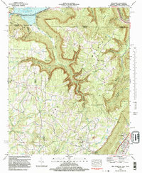
Editions of this 1982 New Home Map
2 editions found
Other maps of this area

1886 · Ringgold
USGS Topo · 1:125,000

1886 · Stevenson
USGS Topo · 1:125,000

1888 · Chattanooga
USGS Topo · 1:125,000

1892 · Ringgold
USGS Topo · 1:125,000

1892 · Stevenson
USGS Topo · 1:125,000

1893 · Chattanooga
USGS Topo · 1:125,000

1895 · Stevenson
USGS Topo · 1:125,000

1895 · Sewanee
USGS Topo · 1:125,000

1935 · Durham
USGS Topo · 1:24,000

1936 · Trenton
USGS Topo · 1:24,000