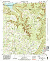
1982 Map of New Home
USGS Topo · Published 1983About this map
Sand Mountain dominates this tri-state corner where Georgia, Alabama, and Tennessee meet. The 1982 landscape is defined by the sharp transition from the Tennessee River valley at Nickajack Lake to the high plateau of the mountain. Along the northern edge, the legendary Nickajack Cave sits near the riverbanks, a site of long-standing regional significance. The map reveals a history of extraction with several Strip Mine operations scattered across the heights near Cole City.
Find a feature on this map
90 named features on this map. Tap any name to fly to it.
Don’t see what you’re looking for? This feature index may not catch every label — zoom into the map to look around manually.
Map Details
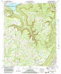
Editions of this 1982 New Home Map
2 editions found
Other maps of this area

1886 · Ringgold
USGS Topo · 1:125,000

1886 · Stevenson
USGS Topo · 1:125,000

1888 · Chattanooga
USGS Topo · 1:125,000

1892 · Ringgold
USGS Topo · 1:125,000

1892 · Stevenson
USGS Topo · 1:125,000

1893 · Chattanooga
USGS Topo · 1:125,000

1895 · Stevenson
USGS Topo · 1:125,000

1895 · Sewanee
USGS Topo · 1:125,000

1935 · Durham
USGS Topo · 1:24,000

1936 · Trenton
USGS Topo · 1:24,000