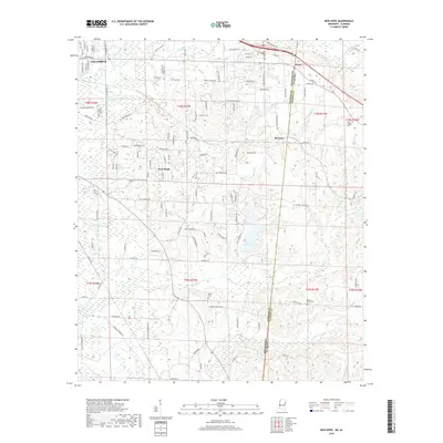
2018 Map of New Hope
USGS Topo · Published 2018About this map
Lake Lowndes serves as a central landmark for this borderland geography, where the eastern edge of Columbus transitions into the communities of New Hope and McCrary. The landscape is defined by its complex hydrology, with numerous drainages including Ellis Creek, Greens Creek, and Timber Creek feeding into local basins. The map illustrates the interstate boundary between Mississippi and Alabama, specifically the line between Lowndes and Pickens Counties, as it cuts through a series of residential developments and rural tracts.
Find a feature on this map
129 named features on this map. Tap any name to fly to it.
Don’t see what you’re looking for? This feature index may not catch every label — zoom into the map to look around manually.
Map Details
Editions of this 2018 New Hope Map
This is the sole edition of this map. No revisions or reprints were ever made.
Other maps of this area

1953 · West Point
USGS Topo · 1:250,000

1958 · West Point
USGS Topo · 1:250,000

1960 · Caledonia
USGS Topo · 1:62,500

1960 · Columbus
USGS Topo · 1:62,500

1963 · West Point
USGS Topo · 1:250,000

1966 · Ethelsville
USGS Topo · 1:24,000

1966 · Reform SW
USGS Topo · 1:24,000

1967 · Fernbank
USGS Topo · 1:24,000

1982 · West Point
USGS Topo · 1:100,000

1984 · West Point
USGS Topo · 1:250,000