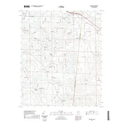
2020 Map of New Hope
USGS Topo · Published 2020About this map
The Mississippi-Alabama border bisects this landscape, where the suburban reaches of Columbus give way to the smaller communities of New Hope and McCrary. This modern survey reveals a countryside dense with local heritage, particularly evidenced by its many denominational and family burial grounds. Notable sites include the Beersheba Cumberland Presbyterian Church Cem and the New Zion Pilgrim Missionary Baptist Church Cem, reflecting the deep-rooted spiritual and social centers of the region.
Find a feature on this map
146 named features on this map. Tap any name to fly to it.
Don’t see what you’re looking for? This feature index may not catch every label — zoom into the map to look around manually.
Map Details
Editions of this 2020 New Hope Map
This is the sole edition of this map. No revisions or reprints were ever made.
Other maps of this area

1953 · West Point
USGS Topo · 1:250,000

1958 · West Point
USGS Topo · 1:250,000

1960 · Caledonia
USGS Topo · 1:62,500

1960 · Columbus
USGS Topo · 1:62,500

1963 · West Point
USGS Topo · 1:250,000

1966 · Ethelsville
USGS Topo · 1:24,000

1966 · Reform SW
USGS Topo · 1:24,000

1967 · Fernbank
USGS Topo · 1:24,000

1982 · West Point
USGS Topo · 1:100,000

1984 · West Point
USGS Topo · 1:250,000