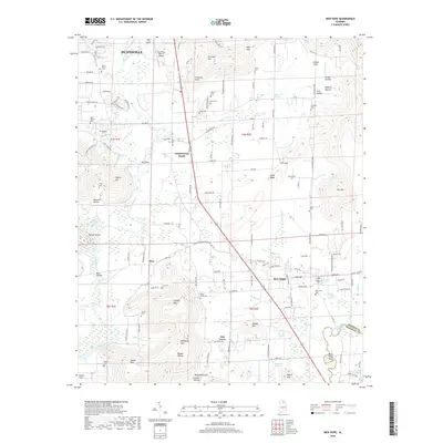
2018 Map of New Hope
USGS Topo · Published 2018About this map
The Flint River and Paint Rock River define the lower Tennessee Valley landscape in this southeastern Madison County corridor. New Hope and Owens Cross Roads serve as primary hubs, connected by a network of rural roads that skirt the base of prominent elevations like Christian Mtn and Haymer Mtn. The area is densely marked with family and community burial grounds, including the Drake Cem, Byrd Cem, and Lacy Hollow, providing a detailed record of the region's ancestral settlement patterns.
Find a feature on this map
144 named features on this map. Tap any name to fly to it.
Don’t see what you’re looking for? This feature index may not catch every label — zoom into the map to look around manually.
Map Details
Editions of this 2018 New Hope Map
This is the sole edition of this map. No revisions or reprints were ever made.
Other maps of this area

1885 · Gadsden
USGS Topo · 1:125,000

1888 · Cullman
USGS Topo · 1:125,000

1888 · Gadsden
USGS Topo · 1:125,000

1888 · Scottsboro
USGS Topo · 1:125,000

1888 · Huntsville
USGS Topo · 1:125,000

1892 · Cullman
USGS Topo · 1:125,000

1892 · Huntsville
USGS Topo · 1:125,000

1892 · Scottsboro
USGS Topo · 1:125,000

1892 · Gadsden
USGS Topo · 1:125,000

1895 · Gadsden
USGS Topo · 1:125,000