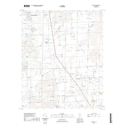
2020 Map of New Hope
USGS Topo · Published 2020About this map
New Hope and Owens Cross Roads serve as the primary hubs in this modern-era study of southeast Madison County. The landscape is defined by the winding course of the Flint River and the Paint Rock River near Buck Ford Bend, where the terrain transitions from the lowlands of Big Cove to prominent elevations like Christian Mtn and McKinney Mtn. The area is notably dense with family and community burial grounds, providing a significant spatial record for genealogical research. Locations such as Bush Cem, Cedar Grove Cem, and Walnut Grove Cem are preserved alongside small settlements like Elon and Oak Grove. The infrastructure reflects a blend of rural tradition and suburban expansion, with the Flint River Ranch Airport and numerous springs like New Hope Spring and Blue Spring dotting the valley floor.
Find a feature on this map
134 named features on this map. Tap any name to fly to it.
Don’t see what you’re looking for? This feature index may not catch every label — zoom into the map to look around manually.
Map Details
Editions of this 2020 New Hope Map
This is the sole edition of this map. No revisions or reprints were ever made.
Other maps of this area

1885 · Gadsden
USGS Topo · 1:125,000

1888 · Cullman
USGS Topo · 1:125,000

1888 · Gadsden
USGS Topo · 1:125,000

1888 · Scottsboro
USGS Topo · 1:125,000

1888 · Huntsville
USGS Topo · 1:125,000

1892 · Cullman
USGS Topo · 1:125,000

1892 · Huntsville
USGS Topo · 1:125,000

1892 · Scottsboro
USGS Topo · 1:125,000

1892 · Gadsden
USGS Topo · 1:125,000

1895 · Gadsden
USGS Topo · 1:125,000