
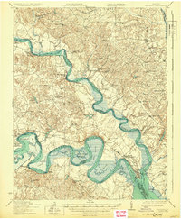
1919 Map of New Kent
USGS Topo · Published 1919About this map
The Mattaponi River and Pamunkey River define the tidewater landscape of this 1917–1918 survey, converging at West Point to form the York River. This area is characterized by intricate marshlands and meandering waterways, including Chamberlayne Marsh and Sweet Hall Marsh, which historically shaped the transportation and settlement patterns of King William and King and Queen counties. The presence of the Pamunkey Indian Reservation along the western riverbank provides a significant anchor for local history and cultural heritage.
Find a feature on this map
87 named features on this map. Tap any name to fly to it.
Don’t see what you’re looking for? This feature index may not catch every label — zoom into the map to look around manually.
Map Details
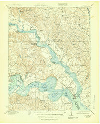
Editions of this 1919 New Kent Map
3 editions found
Other maps of this area

1906 · Williamsburg
USGS Topo · 1:62,500

1917 · Urbanna
USGS Topo · 1:62,500

1917 · Morattico
USGS Topo · 1:62,500

1917 · Toano
USGS Topo · 1:62,500

1918 · Charles City
USGS Topo · 1:62,500

1918 · Toano
USGS Topo · 1:62,500

1918 · Tappahannock
USGS Topo · 1:62,500

1918 · Aylett
USGS Topo · 1:62,500

1918 · Morattico
USGS Topo · 1:62,500

1919 · Tappahannock
USGS Topo · 1:62,500