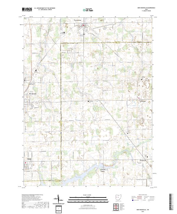
2023 Map of New Knoxville
USGS Topo · Published 2023About this map
Neil Armstrong Airport sits at the northern edge of this landscape, serving as a modern landmark in a region deeply rooted in early Ohio settlement. The area is defined by its small town centers and an intricate network of drainage ditches and creeks, including Loramie Creek and White Feather Ditch, which feed south toward Lake Loramie. This artificial lake, with shores at Lehmkuhl Landing, reflects the region's historical reliance on water management for both agriculture and transportation.
Find a feature on this map
89 named features on this map. Tap any name to fly to it.
Don’t see what you’re looking for? This feature index may not catch every label — zoom into the map to look around manually.
Map Details
Editions of this 2023 New Knoxville Map
This is the sole edition of this map. No revisions or reprints were ever made.
Other maps of this area

1906 · Lima
USGS Topo · 1:62,500

1909 · Loramie
USGS Topo · 1:62,500

1911 · Loramie
USGS Topo · 1:62,500

1911 · Spencerville
USGS Topo · 1:62,500

1913 · Sidney
USGS Topo · 1:62,500

1944 · Sidney
USGS Topo · 1:62,500

1944 · Loramie
USGS Topo · 1:62,500

1944 · Spencerville
USGS Topo · 1:62,500

1953 · Muncie
USGS Topo · 1:250,000

1956 · Muncie
USGS Topo · 1:250,000