1954 Map of New Lake NW
USGS Topo · Published 1977About this map
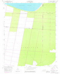
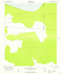
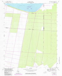
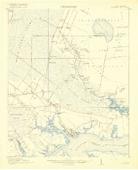
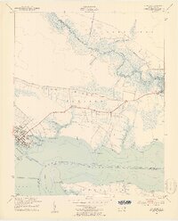
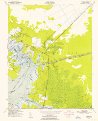
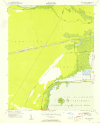
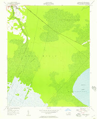
Phelps Lake dominates the northern horizon of this coastal plain landscape, where the flat terrain is defined by large-scale agricultural and drainage patterns. Surveyed by the U.S. Coast and Geodetic Survey in 1951 and later revised using 1974 aerial photography, the map reveals a highly structured grid of land divisions in the Scuppernong and Currituck areas. These geometric boundaries and drainage lines reflect the systematic reclamation of the Carolina wetlands for timber and agriculture.
Find a feature on this map
8 named features on this map. Tap any name to fly to it.
Don’t see what you’re looking for? This feature index may not catch every label — zoom into the map to look around manually.
Map Details
Editions of this 1954 New Lake NW Map
3 editions found
Other maps of this area
1914 · Belhaven
USGS Topo · 1:48,000
1916 · Belhaven
USGS Topo · 1:62,500

1943 · Columbia
USGS Topo · 1:125,000

1943 · Plymouth
USGS Topo · 1:125,000
1951 · Belhaven
USGS Topo · 1:24,000
1951 · Ponzer
USGS Topo · 1:24,000
1951 · New Lake SE
USGS Topo · 1:24,000

1953 · Rocky Mount
USGS Topo · 1:250,000

1954 · Rocky Mount
USGS Topo · 1:250,000
1954 · Roper South
USGS Topo · 1:24,000