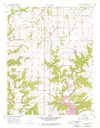
1957 Map of New Lancaster
USGS Topo · Published 1976About this map
New Lancaster and the surrounding prairie of eastern Kansas are detailed in this 1957 survey, later updated with photorevisions in 1973. The landscape is primarily defined by the drainage systems of Middle Creek, Elm Creek, and Sugar Creek, which carve through the undulating terrain near the Miami and Linn County line. The 1973 updates prominently feature the introduction of La Cygnes Lake, a significant modification to the southern portion of the map.
Find a feature on this map
17 named features on this map. Tap any name to fly to it.
Don’t see what you’re looking for? This feature index may not catch every label — zoom into the map to look around manually.
Map Details
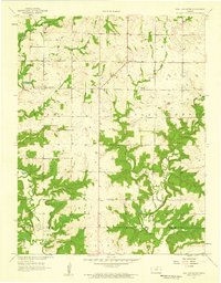
Editions of this 1957 New Lancaster Map
2 editions found
Other maps of this area

1887 · Olathe
USGS Topo · 1:125,000

1887 · Mound City
USGS Topo · 1:125,000

1893 · Mound City
USGS Topo · 1:125,000

1893 · Olathe
USGS Topo · 1:125,000

1947 · Lawrence
USGS Topo · 1:250,000

1950 · Lawrence
USGS Topo · 1:250,000

1953 · Freeman
USGS Topo · 1:24,000

1956 · Paola East
USGS Topo · 1:24,000

1956 · Lawrence
USGS Topo · 1:250,000
1957 · Louisburg
USGS Topo · 1:24,000