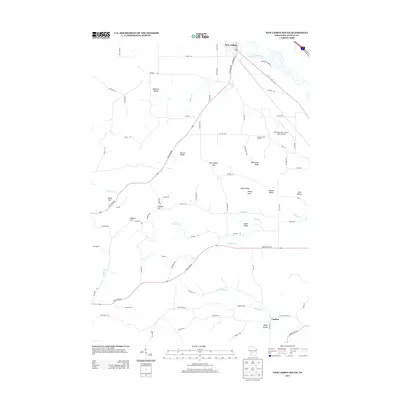
2013 Map of New Lisbon South
USGS Topo · Published 2013About this map
The Lemonweir River meanders through the northern edge of this landscape, defining the southern outskirts of New Lisbon and providing a natural backdrop for the Mauston-New Lisbon Union Airport. The terrain here is deeply articulated by named valleys and ridges, reflecting a complex glacial or erosional history. Significant landforms include Teachout Valley in the northwest, the prominent Duckworth Ridge, and the distinct Norwegian Gap. Smaller drainages such as Webster Cr, Brewer Cr, and Onemile Cr carve through the southern reaches, where the settlement of Lindina is situated.
Find a feature on this map
78 named features on this map. Tap any name to fly to it.
Don’t see what you’re looking for? This feature index may not catch every label — zoom into the map to look around manually.
Map Details
Editions of this 2013 New Lisbon South Map
This is the sole edition of this map. No revisions or reprints were ever made.
Other maps of this area

1919 · Kendall
USGS Topo · 1:62,500

1921 · Mauston
USGS Topo · 1:62,500

1921 · Kendall
USGS Topo · 1:62,500

1927 · Hillsboro
USGS Topo · 1:62,500

1956 · Reedsburg
USGS Topo · 1:62,500

1958 · La Crosse
USGS Topo · 1:250,000

1961 · La Crosse
USGS Topo · 1:250,000

1962 · Kendall
USGS Topo · 1:62,500

1962 · Mauston
USGS Topo · 1:62,500

1965 · La Crosse
USGS Topo · 1:250,000