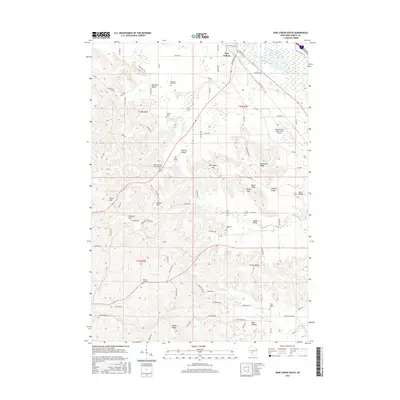
2016 Map of New Lisbon South
USGS Topo · Published 2016About this map
The Lemonweir River and its various tributaries, including Webster Cr and Onemile Cr, define the drainage patterns of this Juneau County landscape. Located south of the main settlement of New Lisbon, the area is characterized by a high density of named topographic features such as Teachout Valley, Johnson Hill, and Mullin Ridge, which dictate the winding paths of rural routes like Co Rd G and Cheese Factory Rd.
Find a feature on this map
91 named features on this map. Tap any name to fly to it.
Don’t see what you’re looking for? This feature index may not catch every label — zoom into the map to look around manually.
Map Details
Editions of this 2016 New Lisbon South Map
This is the sole edition of this map. No revisions or reprints were ever made.
Other maps of this area

1919 · Kendall
USGS Topo · 1:62,500

1921 · Mauston
USGS Topo · 1:62,500

1921 · Kendall
USGS Topo · 1:62,500

1927 · Hillsboro
USGS Topo · 1:62,500

1956 · Reedsburg
USGS Topo · 1:62,500

1958 · La Crosse
USGS Topo · 1:250,000

1961 · La Crosse
USGS Topo · 1:250,000

1962 · Kendall
USGS Topo · 1:62,500

1962 · Mauston
USGS Topo · 1:62,500

1965 · La Crosse
USGS Topo · 1:250,000