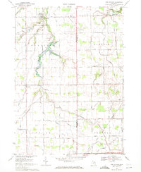
1969 Map of New Lothrop
USGS Topo · Published 1971About this map
New Lothrop serves as the primary hub in this late 1960s landscape, situated at the junction of several county roads where the terrain begins to slope toward the winding Misteguay Creek. The map documents a predominantly agricultural region straddling the Shiawassee and Genesee County line, characterized by a dense grid of rural roads and scattered farmsteads. Small residential clusters like Brent Creek and Juddville punctuate the landscape, reflecting the traditional settlement patterns of Hazelton and Flushing townships.
Find a feature on this map
49 named features on this map. Tap any name to fly to it.
Don’t see what you’re looking for? This feature index may not catch every label — zoom into the map to look around manually.
Map Details
Editions of this 1969 New Lothrop Map
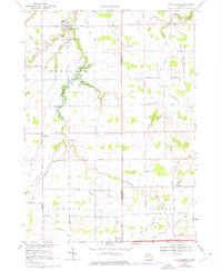
2 editions found
Other maps of this area

1917 · Chesaning
USGS Topo · 1:62,500

1919 · Burt
USGS Topo · 1:62,500

1921 · Burt
USGS Topo · 1:62,500

1922 · Durand
USGS Topo · 1:62,500

1926 · Corunna
USGS Topo · 1:62,500

1929 · Corunna
USGS Topo · 1:62,500

1943 · Burt
USGS Topo · 1:62,500

1943 · Chesaning
USGS Topo · 1:62,500

1943 · Durand
USGS Topo · 1:62,500

1944 · Corunna
USGS Topo · 1:62,500
Featured Places
- New Lothrop, MI
- Hazelton Township, MI
- Clayton Charter Township, MI
- Venice Township, MI
- Flushing Charter Township, MI