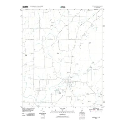
2010 Map of New Market
USGS Topo · Published 2010About this map
New Market Post Office serves as a central hub for this rural Madison County landscape, where the Flint River and its numerous tributaries define the layout of long-established family farms and small communities. The area is dense with genealogical markers, featuring nearly twenty distinct burial grounds including the State Line Cemetery, Britton Cemetery, and Norris Cemetery. These sites are often found near original homesteads and small crossroads settlements like Fairview, Union Grove, and Hillsboro.
Find a feature on this map
95 named features on this map. Tap any name to fly to it.
Don’t see what you’re looking for? This feature index may not catch every label — zoom into the map to look around manually.
Map Details
Editions of this 2010 New Market Map
This is the sole edition of this map. No revisions or reprints were ever made.
Other maps of this area

1888 · Scottsboro
USGS Topo · 1:125,000

1888 · Huntsville
USGS Topo · 1:125,000

1892 · Huntsville
USGS Topo · 1:125,000

1892 · Scottsboro
USGS Topo · 1:125,000

1936 · King Cove
USGS Topo · 1:24,000

1936 · Flintville
USGS Topo · 1:24,000

1936 · Meridianville
USGS Topo · 1:24,000

1936 · Fisk
USGS Topo · 1:24,000

1936 · Hollytree
USGS Topo · 1:24,000

1936 · Lincoln
USGS Topo · 1:24,000