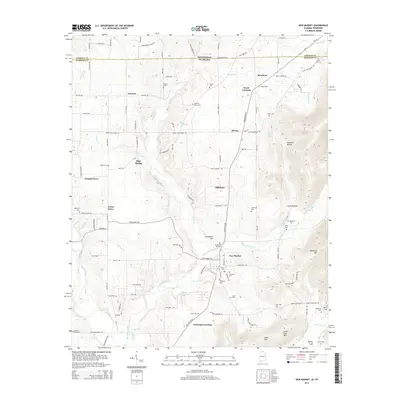
2014 Map of New Market
USGS Topo · Published 2014About this map
The New Market community sits at the heart of this North Alabama landscape, where the Mountain Fork and its tributaries carve through the limestone terrain of Madison County. This 2014 survey captures the rural character of the area south of the Tennessee border, where family history is deeply rooted in numerous small burial grounds such as Graveyard Hill Cem, Norris Cem, and Hambrick Cem. The map illustrates how local geography and early transit corridors influenced settlement, with places like Steele Crossing and Fannings Crossing suggesting historical points of passage across the water and rail lines.
Find a feature on this map
117 named features on this map. Tap any name to fly to it.
Don’t see what you’re looking for? This feature index may not catch every label — zoom into the map to look around manually.
Map Details
Editions of this 2014 New Market Map
This is the sole edition of this map. No revisions or reprints were ever made.
Other maps of this area

1888 · Scottsboro
USGS Topo · 1:125,000

1888 · Huntsville
USGS Topo · 1:125,000

1892 · Huntsville
USGS Topo · 1:125,000

1892 · Scottsboro
USGS Topo · 1:125,000

1936 · King Cove
USGS Topo · 1:24,000

1936 · Flintville
USGS Topo · 1:24,000

1936 · Meridianville
USGS Topo · 1:24,000

1936 · Fisk
USGS Topo · 1:24,000

1936 · Hollytree
USGS Topo · 1:24,000

1936 · Lincoln
USGS Topo · 1:24,000