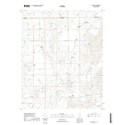
2018 Map of New Market
USGS Topo · Published 2018About this map
New Market serves as the primary hub in this corner of North Alabama, situated where the lowlands meet the rising elevations of the Cumberland Plateau outliers. The landscape is defined by the drainage of Mountain Fork and Rodgers Br, flowing south toward the Flint River watershed. Small farming communities and crossroads such as Hillsboro, Plevna, and Fairview are scattered throughout, connected by a network of rural routes like Winchester Rd.
Find a feature on this map
119 named features on this map. Tap any name to fly to it.
Don’t see what you’re looking for? This feature index may not catch every label — zoom into the map to look around manually.
Map Details
Editions of this 2018 New Market Map
This is the sole edition of this map. No revisions or reprints were ever made.
Other maps of this area

1888 · Scottsboro
USGS Topo · 1:125,000

1888 · Huntsville
USGS Topo · 1:125,000

1892 · Huntsville
USGS Topo · 1:125,000

1892 · Scottsboro
USGS Topo · 1:125,000

1936 · King Cove
USGS Topo · 1:24,000

1936 · Flintville
USGS Topo · 1:24,000

1936 · Meridianville
USGS Topo · 1:24,000

1936 · Fisk
USGS Topo · 1:24,000

1936 · Hollytree
USGS Topo · 1:24,000

1936 · Lincoln
USGS Topo · 1:24,000