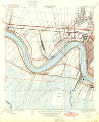
1938 Map of New Orleans West
USGS Topo · Published 1949About this map
The Mississippi River defines this landscape as it makes a sharp southward bend past Jefferson Heights and Southport. In the late 1930s, this area west of New Orleans shows a transition from the urban density of the city toward the industrial and agricultural developments of Jefferson Parish. The completion of the Huey P Long Bridge provides a critical rail and road link over the river, connecting the northern shore's extensive rail network—including the Illinois Central and Arkansas and Louisiana lines—to southern points like Avondale and Waggaman.
Find a feature on this map
77 named features on this map. Tap any name to fly to it.
Don’t see what you’re looking for? This feature index may not catch every label — zoom into the map to look around manually.
Map Details
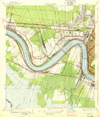
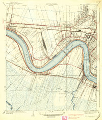
Editions of this 1938 New Orleans West Map
3 editions found
Other maps of this area

1891 · Hahnville
USGS Topo · 1:62,500

1891 · Spanish Fort
USGS Topo · 1:62,500

1891 · New Orleans
USGS Topo · 1:62,500

1892 · Bonnet Carre
USGS Topo · 1:62,500

1932 · New Orleans NE
USGS Topo · 1:31,680

1932 · New Orleans NW
USGS Topo · 1:31,680

1932 · New Orleans SE
USGS Topo · 1:31,680

1932 · New Orleans SW
USGS Topo · 1:31,680

1932 · Hahnville NE
USGS Topo · 1:31,680

1935 · Luling
USGS Topo · 1:31,680