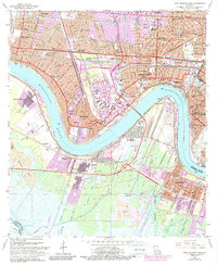
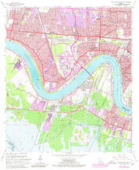
1965 Map of New Orleans West
USGS Topo · Published 1989About this map
The Mississippi River creates a massive horseshoe bend at Twelvemile Point and Ninemile Point, serving as the central axis for this mid-1960s view of the western New Orleans metropolitan area. On the East Bank, the rapid suburbanization of Metairie and Kenner is evident, with countless new streets and schools like Rummel High Sch and St Marys Sch filling the space between the river and Canal No 4. The industrial character of the West Bank is anchored by the Huey P Long Bridge, connecting the rail infrastructure of the Louisiana Arkansas RR to the shipyards of Avondale and the extensive Tank Farm near Bridge City. The map also captures several local landmarks including the Garden of Memories (Cemetery) and the edge of Audubon Park, illustrating the transition from dense urban development to the wetlands surrounding Bayou Segnette.
Find a feature on this map
57 named features on this map. Tap any name to fly to it.
Don’t see what you’re looking for? This feature index may not catch every label — zoom into the map to look around manually.
Map Details
Editions of this 1965 New Orleans West Map
5 editions found
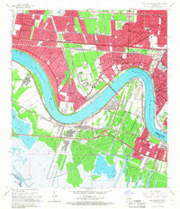
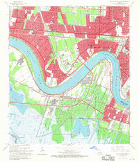
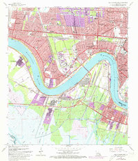
Other maps of this area

1891 · Hahnville
USGS Topo · 1:62,500

1891 · Spanish Fort
USGS Topo · 1:62,500

1891 · New Orleans
USGS Topo · 1:62,500

1892 · Bonnet Carre
USGS Topo · 1:62,500

1932 · New Orleans NE
USGS Topo · 1:31,680

1932 · New Orleans NW
USGS Topo · 1:31,680

1932 · New Orleans SE
USGS Topo · 1:31,680

1932 · New Orleans SW
USGS Topo · 1:31,680

1932 · Hahnville NE
USGS Topo · 1:31,680

1935 · Luling
USGS Topo · 1:31,680