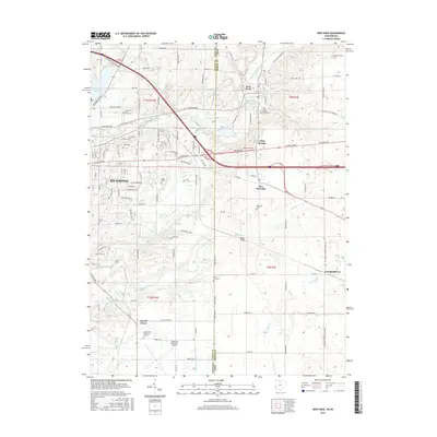
2016 Map of New Paris
USGS Topo · Published 2016About this map
New Paris and New Westville sit along the interstate corridor in this contemporary survey of the Indiana-Ohio borderlands. The landscape is defined by the headwaters of the East Fork Whitewater River and the winding course of Elkhorn Cr, which flows toward the southeastern edge of Richmond. This area maintains its agricultural character, evidenced by the numerous cemeteries including Spring Lawn Cem and the State Line Cem located directly on the boundary between Wayne County, Indiana, and Preble County, Ohio.
Find a feature on this map
127 named features on this map. Tap any name to fly to it.
Don’t see what you’re looking for? This feature index may not catch every label — zoom into the map to look around manually.
Map Details
Editions of this 2016 New Paris Map
This is the sole edition of this map. No revisions or reprints were ever made.
Other maps of this area

1911 · Oxford
USGS Topo · 1:62,500

1915 · New Paris
USGS Topo · 1:48,000

1915 · College Corner
USGS Topo · 1:48,000

1918 · College Corner
USGS Topo · 1:62,500

1918 · New Paris
USGS Topo · 1:62,500

1953 · Cincinnati
USGS Topo · 1:250,000

1957 · Cincinnati
USGS Topo · 1:250,000

1960 · New Madison
USGS Topo · 1:24,000

1960 · Liberty
USGS Topo · 1:24,000

1960 · Fairhaven
USGS Topo · 1:24,000