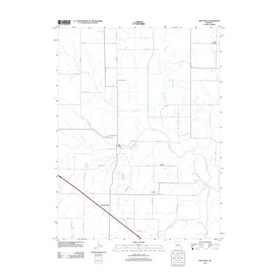
2012 Map of New Point
USGS Topo · Published 2012About this map
The Nodaway River meanders across this rural Missouri landscape, defining the hydrology of an area marked by small-scale agriculture and dispersed settlements. The village of New Point serves as a central point for the surrounding farmstead network, which is connected by a grid of county highways and local routes like Squirrel Rd. This topography is shaped by numerous drainages including Hickory Creek, Arapahoe Creek, and Nichols Creek, which feed into the larger river system.
Find a feature on this map
59 named features on this map. Tap any name to fly to it.
Don’t see what you’re looking for? This feature index may not catch every label — zoom into the map to look around manually.
Map Details
Editions of this 2012 New Point Map
This is the sole edition of this map. No revisions or reprints were ever made.
Other maps of this area

1885 · Atchison
USGS Topo · 1:125,000

1888 · Atchison
USGS Topo · 1:125,000

1893 · Atchison
USGS Topo · 1:125,000

1924 · St. Joseph
USGS Topo · 1:62,500

1926 · Saint Joseph
USGS Topo · 1:62,500

1926 · Oregon
USGS Topo · 1:62,500

1926 · Maitland
USGS Topo · 1:62,500

1927 · Bolckow
USGS Topo · 1:62,500

1945 · Bolckow
USGS Topo · 1:62,500

1950 · Kansas City
USGS Topo · 1:250,000