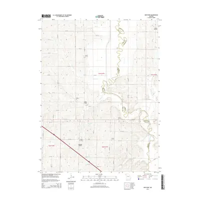
2014 Map of New Point
USGS Topo · Published 2014About this map
The Nodaway River carves a winding path along the eastern border of this territory, defining the boundary between Andrew and Holt Counties. This landscape is characterized by the upland plains and creek valleys typical of northwest Missouri, where agriculture and small rural settlements like Nichols Grove and Lone Corner have long established the social fabric. A dense network of local roads such as Trinity Rd and Unicorn Rd connects these points, often following the section lines of the Public Land Survey System.
Find a feature on this map
43 named features on this map. Tap any name to fly to it.
Don’t see what you’re looking for? This feature index may not catch every label — zoom into the map to look around manually.
Map Details
Editions of this 2014 New Point Map
This is the sole edition of this map. No revisions or reprints were ever made.
Other maps of this area

1885 · Atchison
USGS Topo · 1:125,000

1888 · Atchison
USGS Topo · 1:125,000

1893 · Atchison
USGS Topo · 1:125,000

1924 · St. Joseph
USGS Topo · 1:62,500

1926 · Saint Joseph
USGS Topo · 1:62,500

1926 · Oregon
USGS Topo · 1:62,500

1926 · Maitland
USGS Topo · 1:62,500

1927 · Bolckow
USGS Topo · 1:62,500

1945 · Bolckow
USGS Topo · 1:62,500

1950 · Kansas City
USGS Topo · 1:250,000