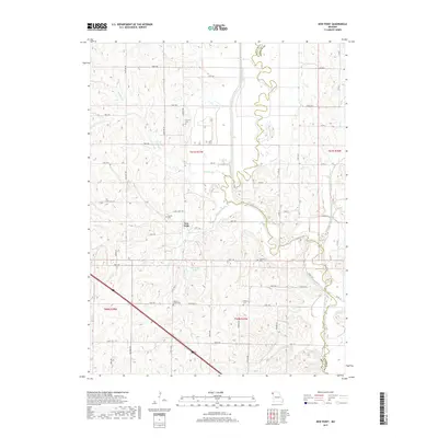
2017 Map of New Point
USGS Topo · Published 2017About this map
New Point sits at a geographic crossroads in the northwestern Missouri countryside, where the winding course of the Nodaway River defines the border between Holt and Andrew counties. This 2017 survey details a landscape where agriculture and ancestry are closely intertwined, evidenced by the numerous burial grounds scattered across the townships, including Nichols Grove Cem, Cowan Cem, and Fairview Cem. The terrain is deeply etched by a network of drainage systems, with Hickory Cr, Nichols Cr, and Arapahoe Cr carving through the prairie soil.
Find a feature on this map
60 named features on this map. Tap any name to fly to it.
Don’t see what you’re looking for? This feature index may not catch every label — zoom into the map to look around manually.
Map Details
Editions of this 2017 New Point Map
This is the sole edition of this map. No revisions or reprints were ever made.
Other maps of this area

1885 · Atchison
USGS Topo · 1:125,000

1888 · Atchison
USGS Topo · 1:125,000

1893 · Atchison
USGS Topo · 1:125,000

1924 · St. Joseph
USGS Topo · 1:62,500

1926 · Saint Joseph
USGS Topo · 1:62,500

1926 · Oregon
USGS Topo · 1:62,500

1926 · Maitland
USGS Topo · 1:62,500

1927 · Bolckow
USGS Topo · 1:62,500

1945 · Bolckow
USGS Topo · 1:62,500

1950 · Kansas City
USGS Topo · 1:250,000