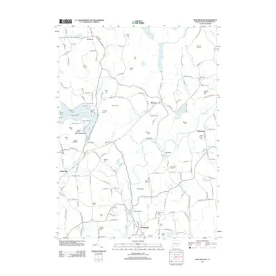
2012 Map of New Preston
USGS Topo · Published 2012About this map
Lake Waramaug serves as a centerpiece for this region of Litchfield County, where the glacial landscape is defined by the Shepaug River and Bantam River valleys. The terrain is marked by numerous summits, including Mount Tom and Mount Prospect, which dictate the winding paths of rural roads like Sackett Hill Rd and Tanner Hill Rd. High-elevation settlements such as Warren and Above All overlook the water bodies, while agricultural and recreational land use is evident at Hopkins Vineyard and the Washington Golf Course.
Find a feature on this map
164 named features on this map. Tap any name to fly to it.
Don’t see what you’re looking for? This feature index may not catch every label — zoom into the map to look around manually.
Map Details
Editions of this 2012 New Preston Map
This is the sole edition of this map. No revisions or reprints were ever made.
Other maps of this area

1892 · Winsted
USGS Topo · 1:62,500

1892 · Cornwall
USGS Topo · 1:62,500

1892 · New Milford
USGS Topo · 1:62,500

1893 · Waterbury
USGS Topo · 1:62,500

1893 · New Milford
USGS Topo · 1:62,500

1893 · Cornwall
USGS Topo · 1:62,500

1903 · Cornwall
USGS Topo · 1:62,500

1904 · New Milford
USGS Topo · 1:62,500

1904 · Waterbury
USGS Topo · 1:62,500

1904 · Litchfield
USGS Topo · 1:125,000