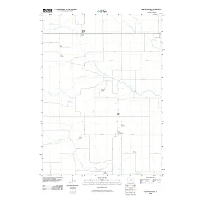
2010 Map of New Providence
USGS Topo · Published 2010About this map
New Providence serves as the primary hub of this Hardin County agricultural landscape, situated at the junction of Co Rd D55 and Plum Rd. The township is defined by a dense network of family and community landmarks, particularly evident in the high concentration of burial grounds such as Hadley Cemetery, Highland Cemetery, and the Honey Creek Cemetery to the south. The drainage patterns of the South Fork Iowa River and its tributaries, including Tipton Creek and Honey Creek, dictate the placement of early settlements like Lawn Hill and Point Pleasant. A unique institutional footprint is noted in the northeast corner near Beaver Creek, where the Eldora Training School Cemetery is located. The map illustrates a strictly maintained section-line road grid that integrates these small hamlets with the surrounding prairie-turned-farmland.
Find a feature on this map
47 named features on this map. Tap any name to fly to it.
Don’t see what you’re looking for? This feature index may not catch every label — zoom into the map to look around manually.
Map Details
Editions of this 2010 New Providence Map
This is the sole edition of this map. No revisions or reprints were ever made.
Other maps of this area

1954 · Waterloo
USGS Topo · 1:250,000

1955 · Waterloo
USGS Topo · 1:250,000

1975 · State Center NW
USGS Topo · 1:24,000

1975 · Union
USGS Topo · 1:24,000

1975 · Zearing
USGS Topo · 1:24,000

1979 · Buckeye East
USGS Topo · 1:24,000

1979 · Steamboat Rock
USGS Topo · 1:24,000

1979 · New Providence
USGS Topo · 1:24,000

1979 · Hubbard
USGS Topo · 1:24,000

1979 · Eldora
USGS Topo · 1:24,000