
1979 Map of Steamboat Rock
USGS Topo · Published 1980About this map
Steamboat Rock serves as the focal point for this survey, situated at a major bend in the Iowa River. The landscape is a mix of agricultural uplands and protected riverine corridors, including the Mann Wilderness Area and Steamboat Rock State Wayside Park. The transportation network is defined by the intersection of the Chicago Rock Island and Pacific and the Chicago and North Western railroads, which historically linked the small grain-handling settlements of Abbott and Cleves to larger markets.
Find a feature on this map
34 named features on this map. Tap any name to fly to it.
Don’t see what you’re looking for? This feature index may not catch every label — zoom into the map to look around manually.
Map Details
Editions of this 1979 Steamboat Rock Map
This is the sole edition of this map. No revisions or reprints were ever made.
Other maps of this area

1954 · Waterloo
USGS Topo · 1:250,000

1955 · Waterloo
USGS Topo · 1:250,000

1979 · Ackley
USGS Topo · 1:24,000

1979 · New Providence
USGS Topo · 1:24,000

1979 · Iowa Falls East
USGS Topo · 1:24,000

1979 · Eldora
USGS Topo · 1:24,000
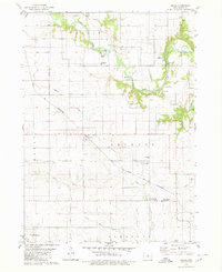
1979 · Owasa
USGS Topo · 1:24,000

1980 · Aplington
USGS Topo · 1:24,000

1980 · Wellsburg
USGS Topo · 1:24,000
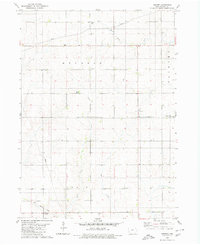
1980 · Ivester
USGS Topo · 1:24,000