
1980 Map of Wellsburg
USGS Topo · Published 1980About this map
Wellsburg serves as the central hub of this Grundy County landscape, situated at the junction of the Chicago Rock Island and Pacific railroad and local rural routes. The surrounding terrain is defined by a dense network of waterways, including Middle Fork Beaver Creek, South Beaver Creek, and Black Hawk Creek, which carve through the agricultural townships of German, Pleasant Valley, and Shiloh.
Find a feature on this map
28 named features on this map. Tap any name to fly to it.
Don’t see what you’re looking for? This feature index may not catch every label — zoom into the map to look around manually.
Map Details
Editions of this 1980 Wellsburg Map
This is the sole edition of this map. No revisions or reprints were ever made.
Other maps of this area

1954 · Waterloo
USGS Topo · 1:250,000

1955 · Waterloo
USGS Topo · 1:250,000

1979 · Grundy Center
USGS Topo · 1:24,000

1979 · Holland
USGS Topo · 1:24,000

1979 · Ackley
USGS Topo · 1:24,000

1979 · Steamboat Rock
USGS Topo · 1:24,000

1979 · Eldora
USGS Topo · 1:24,000

1980 · Aplington
USGS Topo · 1:24,000
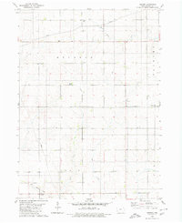
1980 · Ivester
USGS Topo · 1:24,000
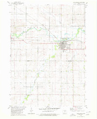
1980 · Parkersburg
USGS Topo · 1:24,000