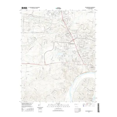
2016 Map of New Providence
USGS Topo · Published 2016About this map
The Cumberland River anchors this study of the northwestern corridor of Clarksville, Tennessee, tracing the landscape as it appeared in the mid-2010s. The geography is defined by the convergence of several significant waterways, including Little West Fork, Fletchers Fork, and the winding Cummings Cr. Residential growth is evident in established and expanding neighborhoods such as Ringgold, Kenwood, and Briarwood, while Park Lane and New Providence mark the transition toward the city center.
Find a feature on this map
274 named features on this map. Tap any name to fly to it.
Don’t see what you’re looking for? This feature index may not catch every label — zoom into the map to look around manually.
Map Details
Editions of this 2016 New Providence Map
This is the sole edition of this map. No revisions or reprints were ever made.
Other maps of this area

1931 · Erin
USGS Topo · 1:62,500

1944 · Clarksville
USGS Topo · 1:50,000

1951 · New Providence
USGS Topo · 1:24,000

1951 · Hammacksville
USGS Topo · 1:24,000

1951 · Clarksville
USGS Topo · 1:24,000

1951 · Herndon
USGS Topo · 1:24,000

1951 · Oak Grove
USGS Topo · 1:24,000

1951 · Woodlawn
USGS Topo · 1:24,000

1956 · Nashville
USGS Topo · 1:250,000

1957 · New Providence
USGS Topo · 1:24,000
Featured Places
- Clarksville, TN
- Belleglade Mobile Home Community, Clarksville
- Briarwood, TN
- Two Rivers District, Clarksville
- New Providence, Clarksville