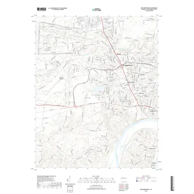
2019 Map of New Providence
USGS Topo · Published 2019About this map
Sabre Army Airfield (Fort Campbell) and the northern edges of Clarksville dominate this 2019 survey, showing the complex interplay of military infrastructure and residential expansion in Montgomery County. The northwestern portion of the map is defined by the strict geometry of Fort Campbell, with tactical roads like Mississippi Rd and 101st Airborne Division Rd marking the training landscape. To the east, the traditional community of New Providence and newer developments like Bel-Air Estates and Park Lane reflect the area's modern growth.
Find a feature on this map
156 named features on this map. Tap any name to fly to it.
Don’t see what you’re looking for? This feature index may not catch every label — zoom into the map to look around manually.
Map Details
Editions of this 2019 New Providence Map
This is the sole edition of this map. No revisions or reprints were ever made.
Other maps of this area

1931 · Erin
USGS Topo · 1:62,500

1944 · Clarksville
USGS Topo · 1:50,000

1951 · New Providence
USGS Topo · 1:24,000

1951 · Hammacksville
USGS Topo · 1:24,000

1951 · Clarksville
USGS Topo · 1:24,000

1951 · Herndon
USGS Topo · 1:24,000

1951 · Oak Grove
USGS Topo · 1:24,000

1951 · Woodlawn
USGS Topo · 1:24,000

1956 · Nashville
USGS Topo · 1:250,000

1957 · New Providence
USGS Topo · 1:24,000
Featured Places
- Clarksville, TN
- Belleglade Mobile Home Community, Clarksville
- Briarwood, TN
- Two Rivers District, Clarksville
- New Providence, Clarksville