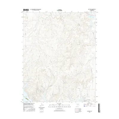
2016 Map of New Prue
USGS Topo · Published 2016About this map
New Prue occupies the southern reach of this landscape, situated near the northern banks of Keystone Lake. The area is defined by a dense network of drainages and creeks, including Wildhorse Cr and Little Wildhorse Cr, which carve through the terrain of Osage County and Pawnee County. To the northeast, the map shows the southern tip of Skiatook Lake, illustrating the significant role of large-scale water management in shaping the regional geography. The settlement pattern near the lake reflects modern residential development, with local thoroughfares like Sunset Ridge and Stagecoach Trl providing access to the shoreline. Away from the water, the land remains dominated by winding rural routes such as Co Rd 1701 and Co Rd 1200, which trace the ridges between numerous stream valleys like Boar Creek and Cedar Cr.
Find a feature on this map
41 named features on this map. Tap any name to fly to it.
Don’t see what you’re looking for? This feature index may not catch every label — zoom into the map to look around manually.
Map Details
Editions of this 2016 New Prue Map
This is the sole edition of this map. No revisions or reprints were ever made.
Other maps of this area

1912 · Hominy
USGS Topo · 1:125,000

1915 · Hominy
USGS Topo · 1:125,000

1915 · Hominy
USGS Topo · 1:62,500

1955 · Enid
USGS Topo · 1:250,000

1958 · Enid
USGS Topo · 1:250,000

1958 · Keystone Dam
USGS Topo · 1:24,000

1958 · Wekiwa
USGS Topo · 1:24,000

1966 · Cleveland
USGS Topo · 1:24,000
1966 · Avant NW
USGS Topo · 1:24,000
1966 · Hominy
USGS Topo · 1:24,000