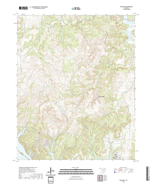
2022 Map of New Prue
USGS Topo · Published 2022About this map
Prue and New Prue sit at the southern edge of this Osage County landscape, positioned between the expansive waters of Keystone Lake to the southwest and Skiatook Lake in the northeast. The topography is defined by a dense network of creek drainages, including the prominent Wildhorse Creek, Buck Creek, and Waresha Creek, which carve through the terrain near Sunset Ridge. This 2022 survey illustrates the modern transition of the area into a recreational and residential corridor, with street names like Stagecoach Trl, Covered Wagon Pass, and Frontier Trl reflecting the local heritage. A significant landmark, Indian Station, is located near the shoreline of Keystone Lake, while the eastern portion of the map is dominated by the outskirts of Skiatook, showing the continued integration of these rural settlements with the region's major water reservoirs.
Find a feature on this map
51 named features on this map. Tap any name to fly to it.
Don’t see what you’re looking for? This feature index may not catch every label — zoom into the map to look around manually.
Map Details
Editions of this 2022 New Prue Map
This is the sole edition of this map. No revisions or reprints were ever made.
Other maps of this area

1912 · Hominy
USGS Topo · 1:125,000

1915 · Hominy
USGS Topo · 1:125,000

1915 · Hominy
USGS Topo · 1:62,500

1955 · Enid
USGS Topo · 1:250,000

1958 · Enid
USGS Topo · 1:250,000

1958 · Keystone Dam
USGS Topo · 1:24,000

1958 · Wekiwa
USGS Topo · 1:24,000

1966 · Cleveland
USGS Topo · 1:24,000
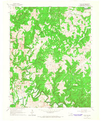
1966 · Avant NW
USGS Topo · 1:24,000
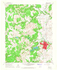
1966 · Hominy
USGS Topo · 1:24,000