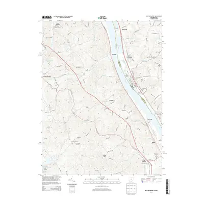
2013 Map of New Richmond
USGS Topo · Published 2013About this map
The Ohio River forms the central artery of this region, dividing Campbell County, Kentucky, from Clermont County, Ohio. Along the riverbanks, the maritime economy of the early 2010s is evident at Blairsville Landing, Sarvers Landing, and the Cobra Marina. The terrain rises sharply from the river valley into the ridges of Northern Kentucky, where rural settlements like Persimmon Grove and Gubser Mill maintain a landscape of scattered farmsteads and narrow winding roads such as the AA Hwy.
Find a feature on this map
153 named features on this map. Tap any name to fly to it.
Don’t see what you’re looking for? This feature index may not catch every label — zoom into the map to look around manually.
Map Details
Editions of this 2013 New Richmond Map
This is the sole edition of this map. No revisions or reprints were ever made.
Other maps of this area

1898 · East Cincinnati
USGS Topo · 1:62,500

1914 · East Cincinnati
USGS Topo · 1:62,500

1914 · Batavia
USGS Topo · 1:48,000

1916 · Batavia
USGS Topo · 1:62,500

1929 · Alexandria
USGS Topo · 1:48,000

1931 · Felicity
USGS Topo · 1:62,500

1936 · Alexandria
USGS Topo · 1:62,500

1952 · Newport
USGS Topo · 1:24,000

1953 · Laurel
USGS Topo · 1:24,000

1953 · Withamsville
USGS Topo · 1:24,000